







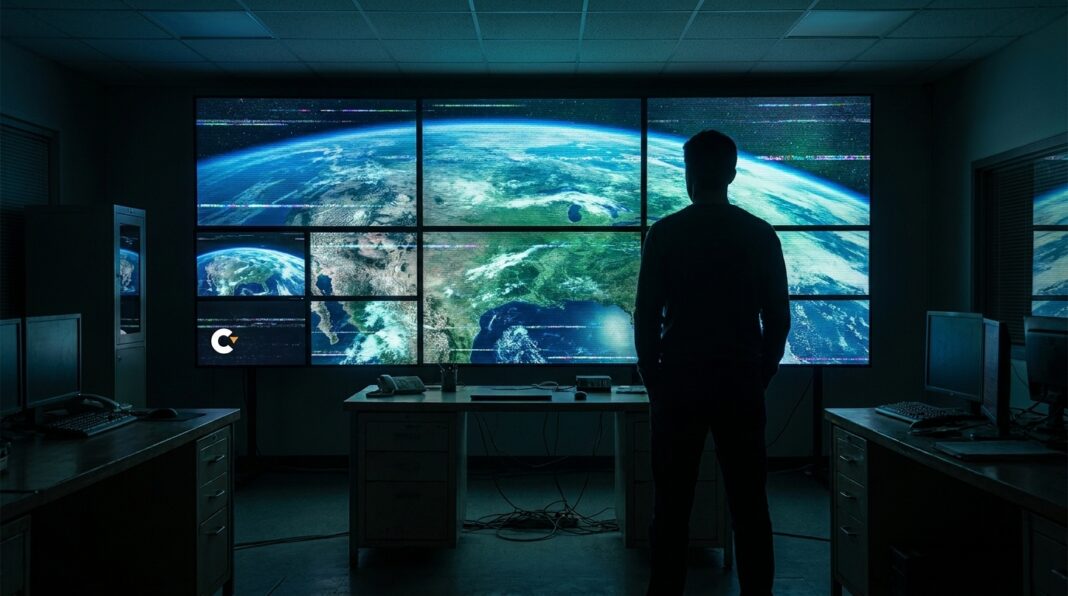

Google removed an AI image generation feature from the web version of Google Earth roughly one day after its July 30 release. The tool allowed users to zoom to any location, click create image, and generate scenes from text prompts using the Nano Banana model, and Google said it rolled back the feature while building tighter guardrails and would reinstate image generation only after implementing protections with no timeline provided.
Demonstrations showed it could create fake satellite imagery, including a Los Angeles blast crater and protesters outside Mountain View campus.
The AI image generation feature in Google Earth’s web version allowed users to zoom to any location, click “create image,” and generate a scene from a text prompt using the Nano Banana model. Google pulled the newly launched feature roughly one day after its July 30 release and said it was rolling the feature back while it built tighter guardrails and protections. Google said every image produced carries a SynthID watermark intended to flag it as AI-generated. Google also said it blocks image creation on harmful topics.
Google said image generation would be reinstated in Google Earth only after implementing tighter protections and provided no timeline for reinstatement. The company provided no timeline for when image generation would return to Google Earth.
404 Media demonstrated the Google Earth tool could produce a blast crater in Los Angeles and add protesters outside Google’s Mountain View campus. NPR generated images using the tool that depicted Iran’s Kharg Island ablaze and a flooded U.S. Capitol. Henk van Ess said he tried prompts that included refugees at the Mexican border and a nuclear plant in Iran, and that none were refused. Critics warned the tool could flood the internet with convincing fake satellite imagery.
Observers and experts noted the potential impact on trust in satellite imagery, which has long served as a trusted anchor for verifying breaking news and atrocities. Jake Godin cautioned that one-click generation could enable fake satellite imagery. The reported demonstrations and experiments by third parties highlighted the kinds of scenes that could be generated.
Third-party examples and expert warnings emphasized concerns about the tool’s effect on the reliability of satellite imagery. Multiple outlets and researchers publicly demonstrated or described problematic images produced by the feature.
The removal of the Google Earth AI image generation tool came in response to concerns that it could enable convincing deepfakes, highlighting risks to the public’s trust in satellite imagery that is commonly used to verify breaking news and alleged atrocities. Those concerns underscored the need for stronger protections and guardrails for AI-generated geospatial content to preserve the reliability of imagery relied upon by journalists, researchers and the public.